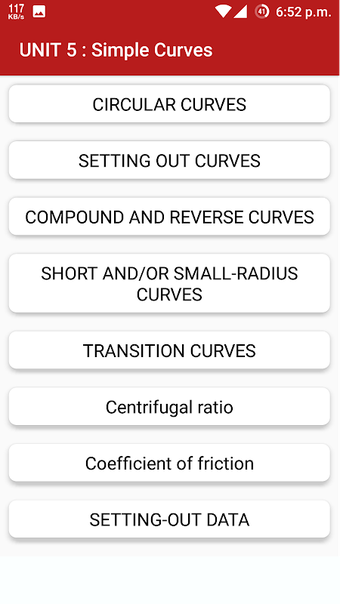
A free program for Android, by Engineering Wale Baba.
Surveying is a science of measurement, based on practical experience and on the laws of nature. It is the most accurate, versatile, and simplest method of determining the position of a point or a surface.
It is the foundation of all modern surveying, the practical application of which is unlimited.
The measurement of land is the most important task in modern agriculture and construction. The accuracy of the measurement will have a crucial influence on the cost and quality of the work.
The most common types of surveying equipment are:
GPS surveying instruments, which are used to measure the position of a point on the ground, the elevation, and the angle between the surface and the line of sight.
Theodolite, which is a mechanical compass used for azimuthal angle measurements.
The levelling instrument, which is used for leveling the surface.
The parallel plate micrometer, which is used for the measurement of the distance between the plates.
The most common errors and their causes are:
Instrumental error, which is the difference between the real value and the measured value.
The most common types of errors are:
Escape from the edges, which is the most common error and can be caused by the device being in an abnormal position.


